VARTRY
RESERVOIR
VARTRY RESERVOIR
POCKET IRELAND › Place Guides › Vartry Reservoir
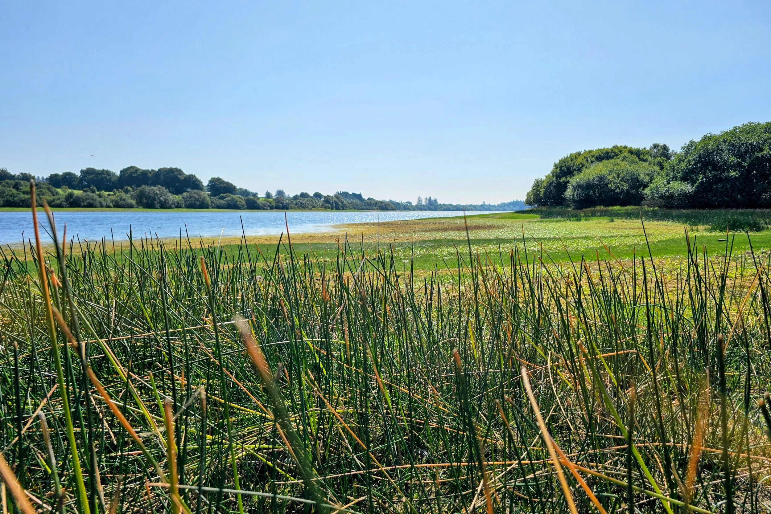
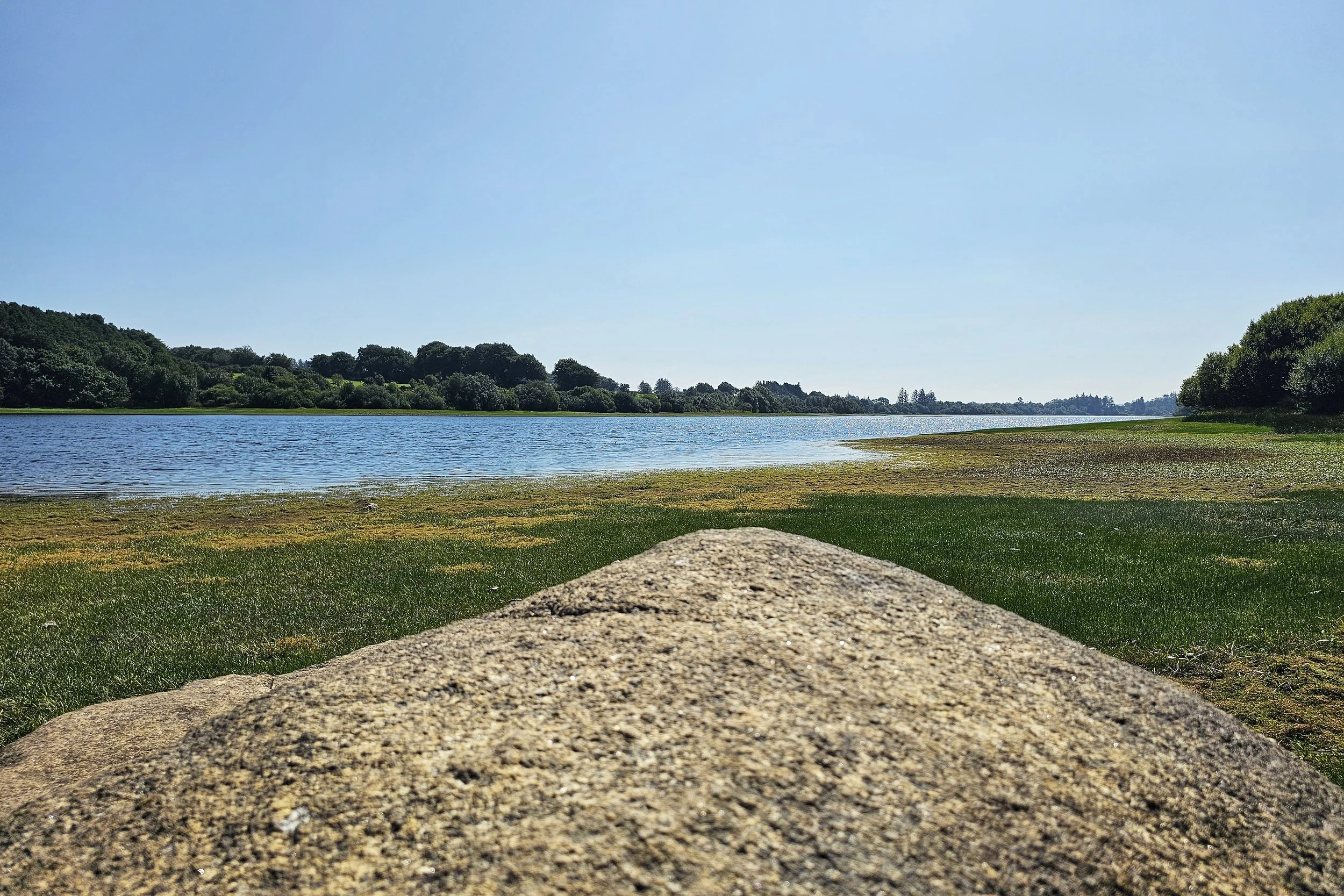
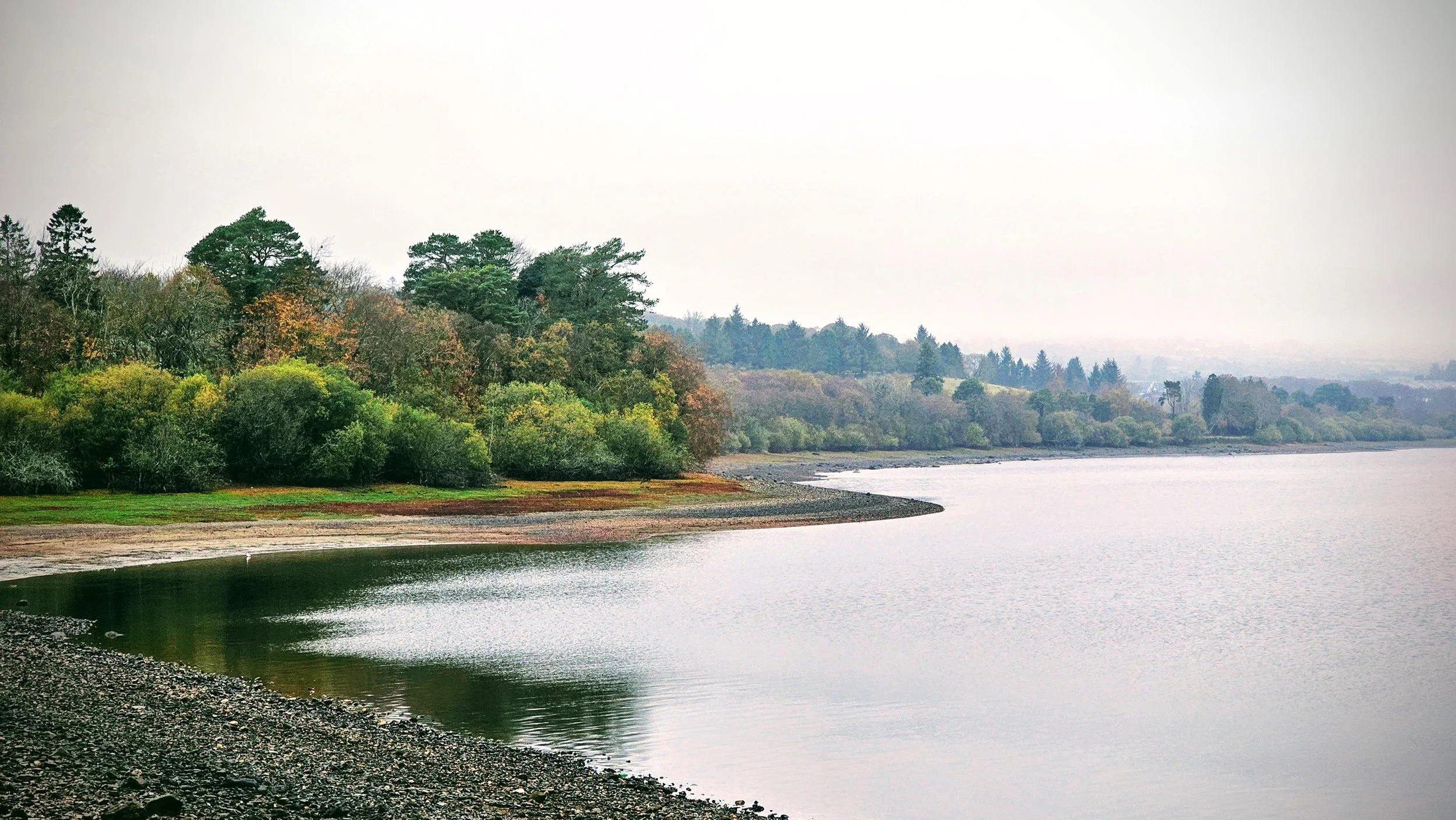
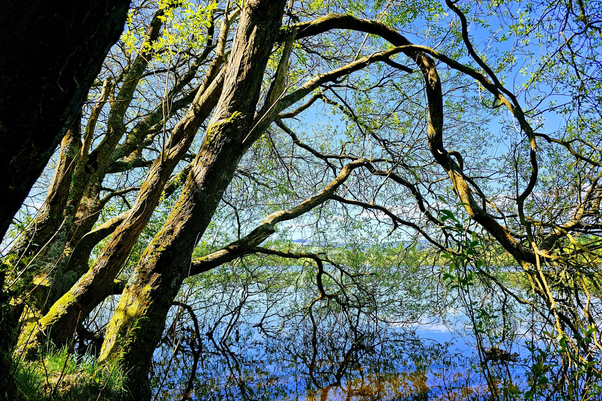
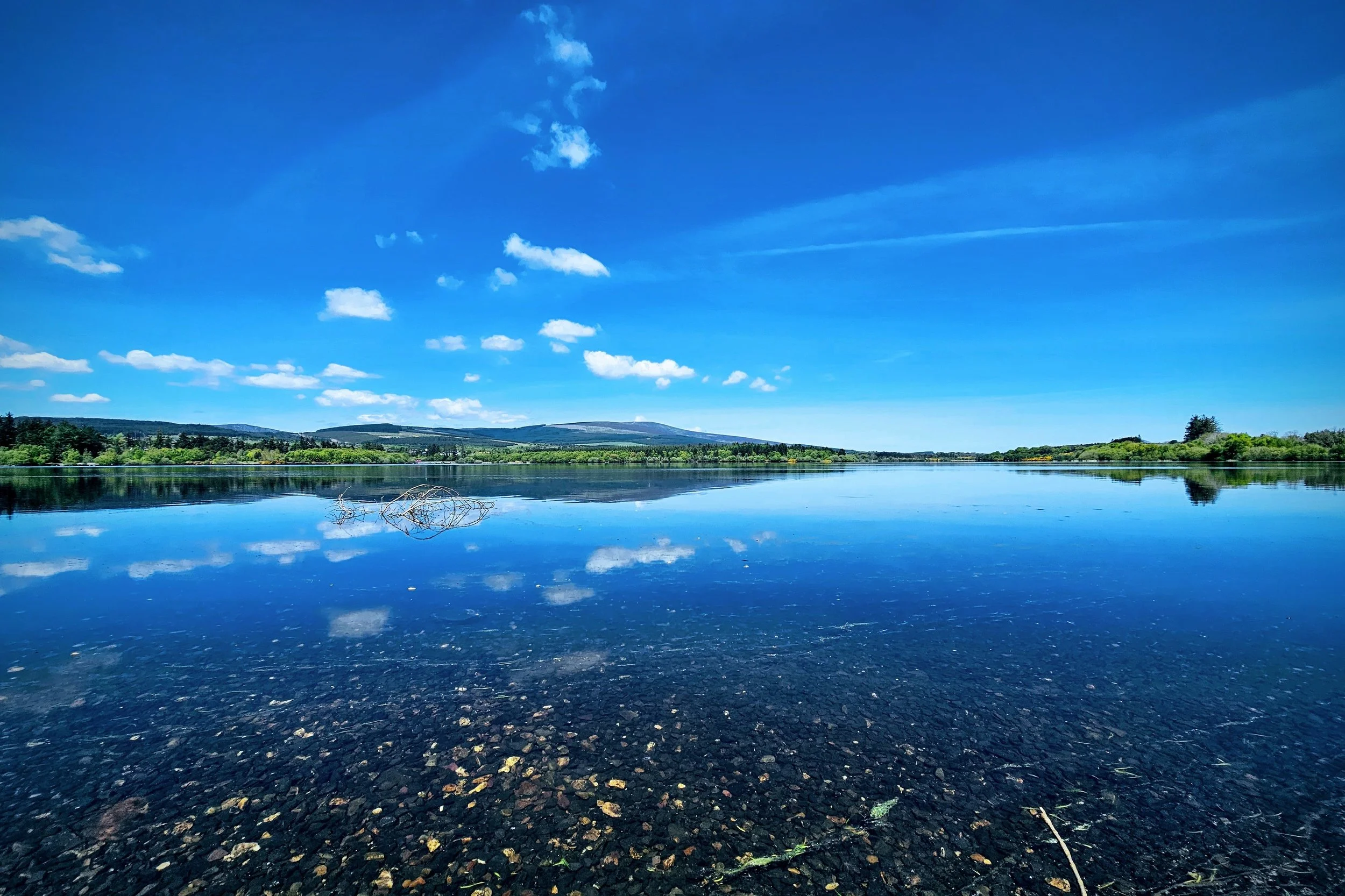
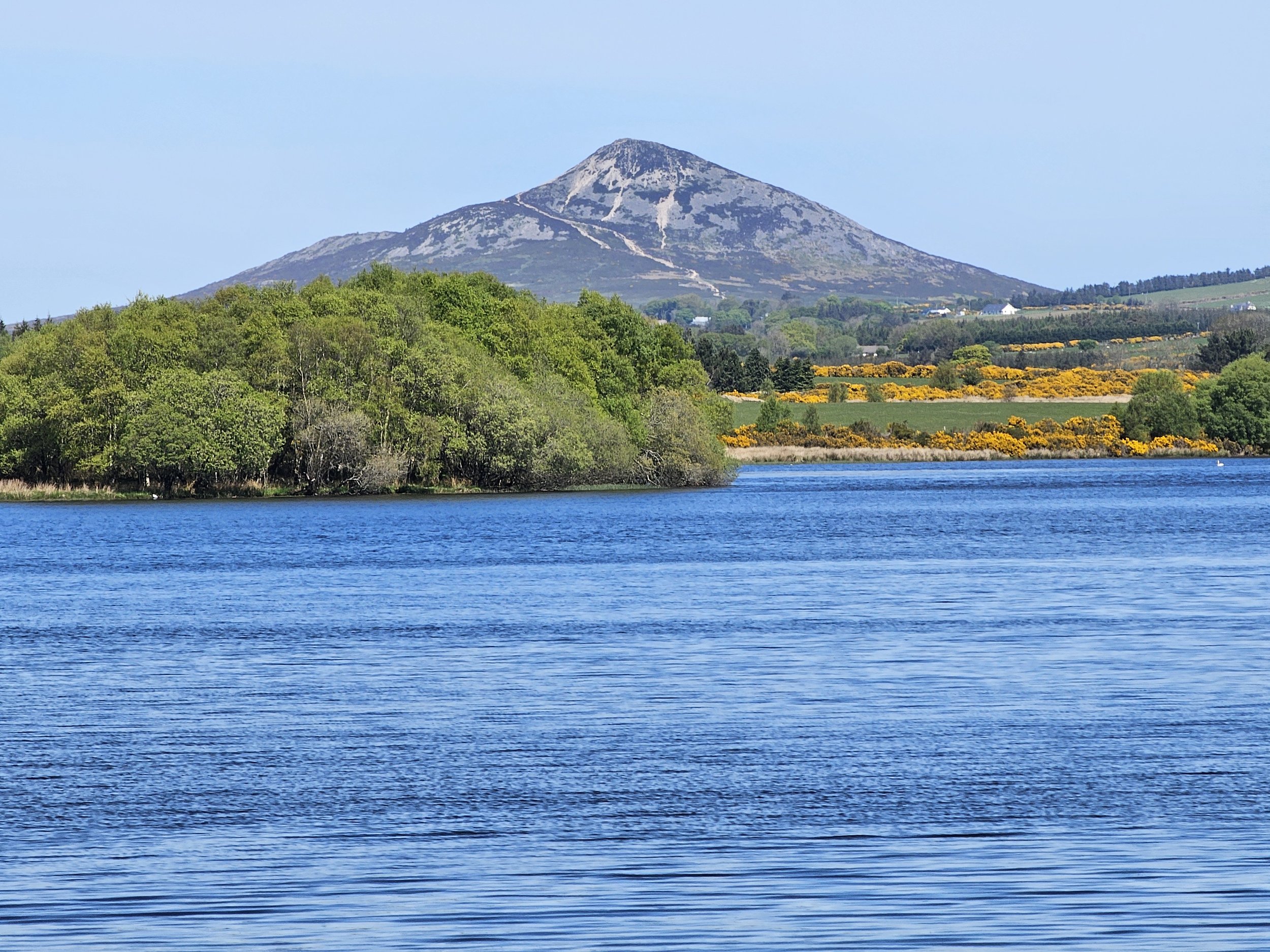
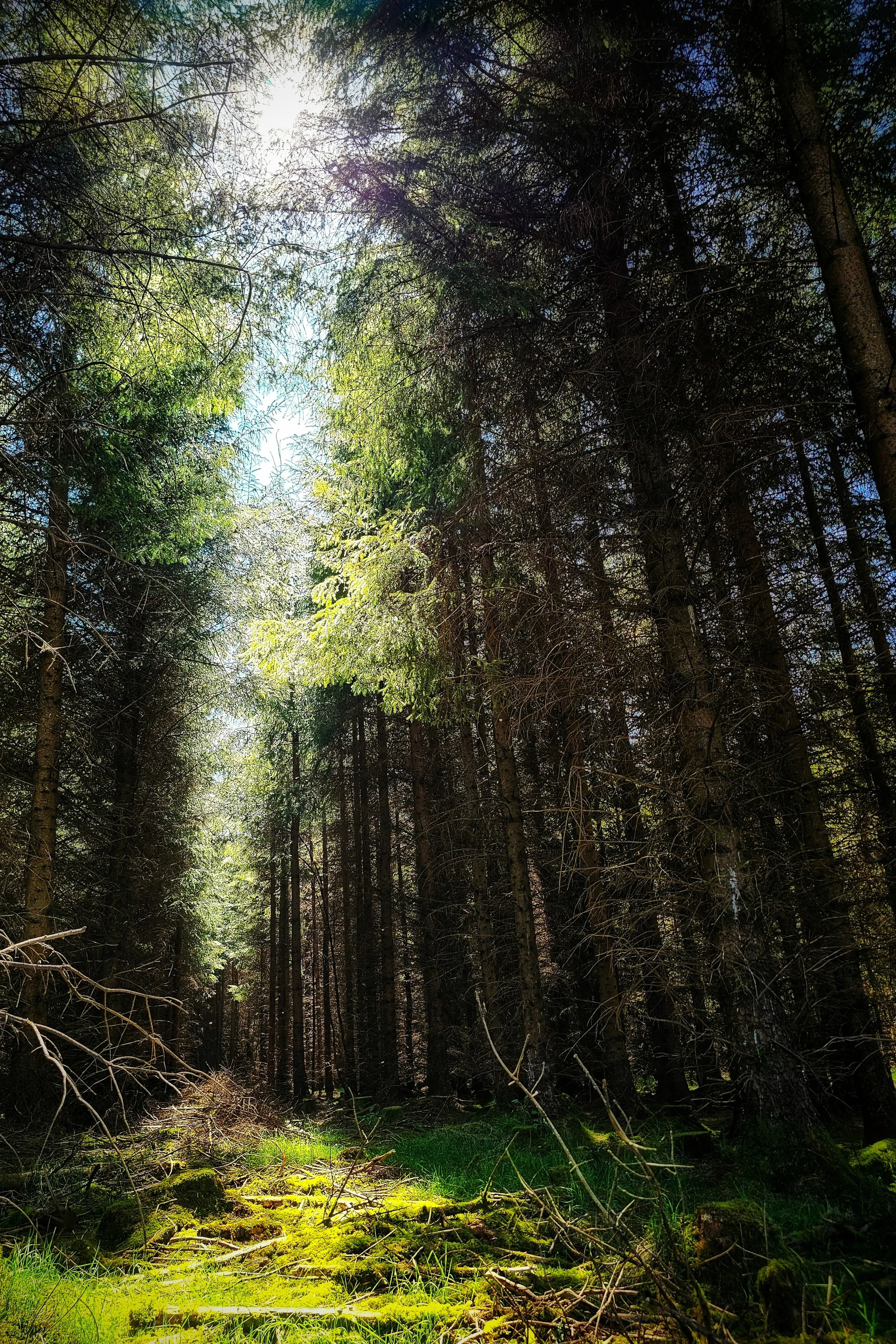
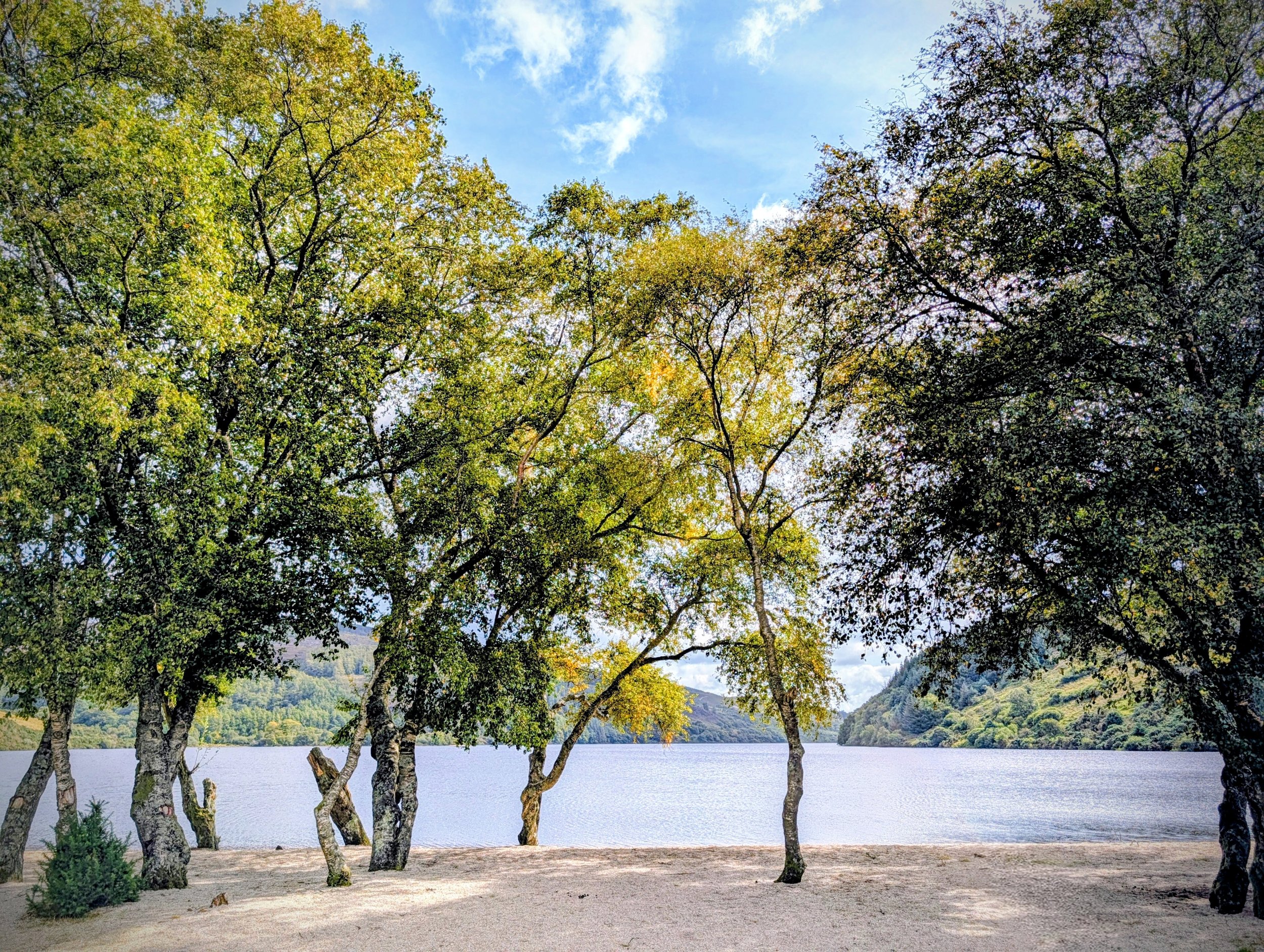
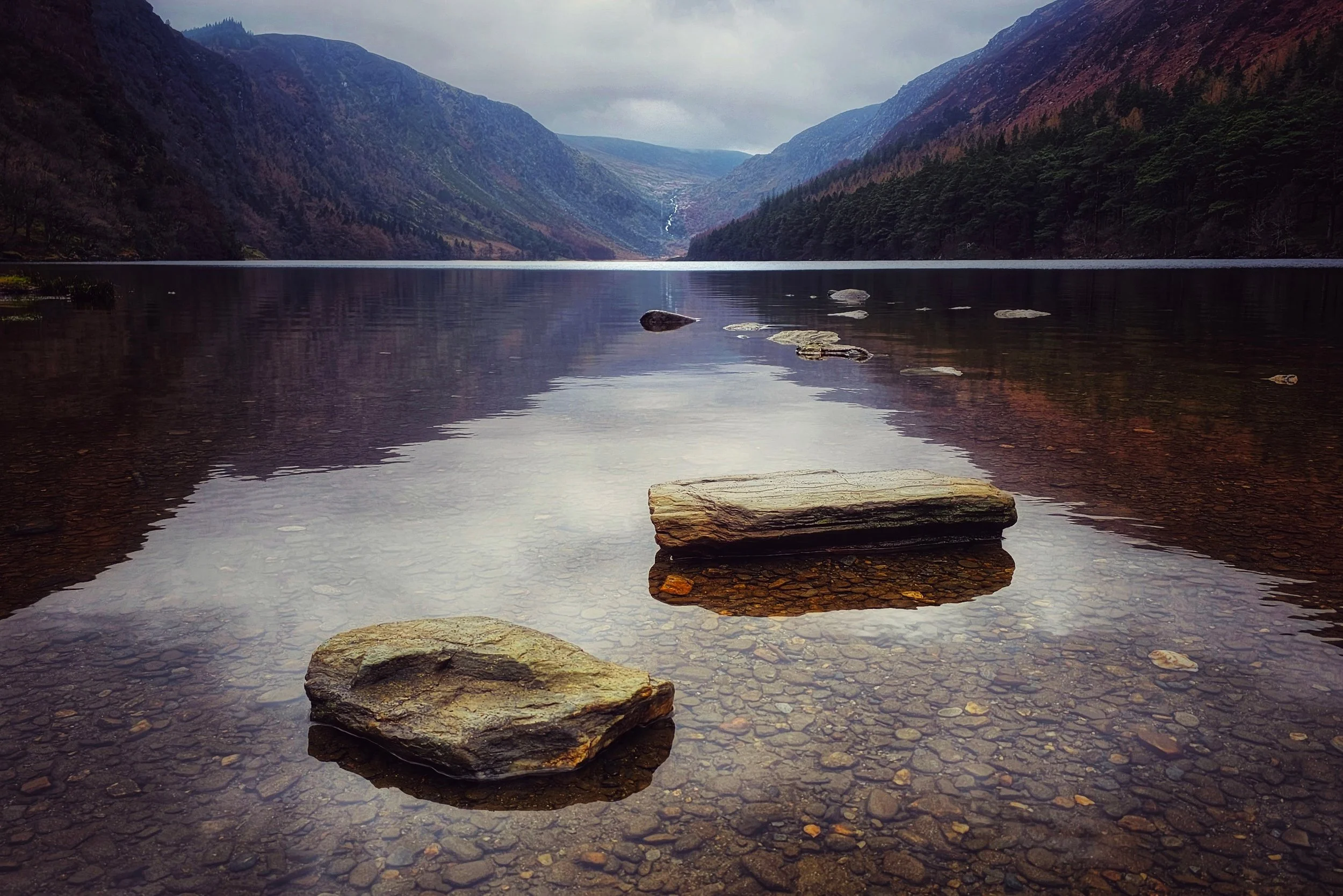
Vartry Reservoir offers a serene escape where Victorian engineering meets the rugged beauty of the Wicklow Mountains. The atmosphere is one of reflective stillness; the expansive sheets of water act as a mirror for the sky and the surrounding peaks of Djouce and the Sugar Loaf. Walking the embankments, you are flanked by avenues of 150-year-old Scots pines, their scent mingling with the fresh, crisp air off the water.
Two Lakes
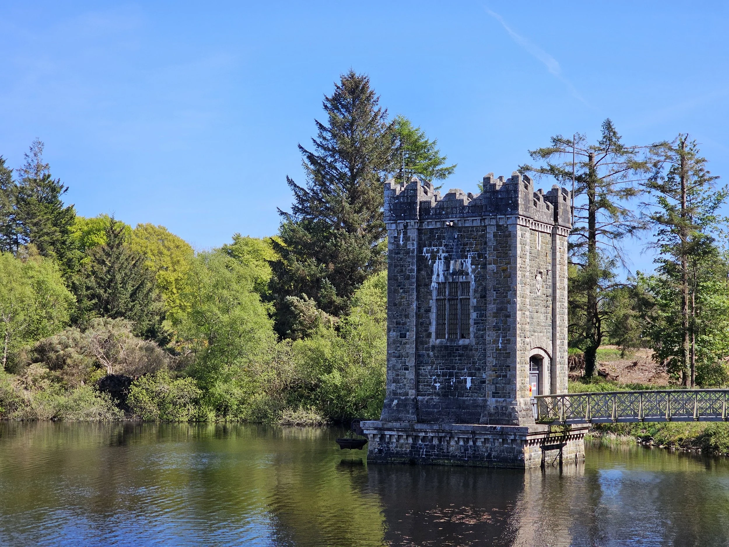
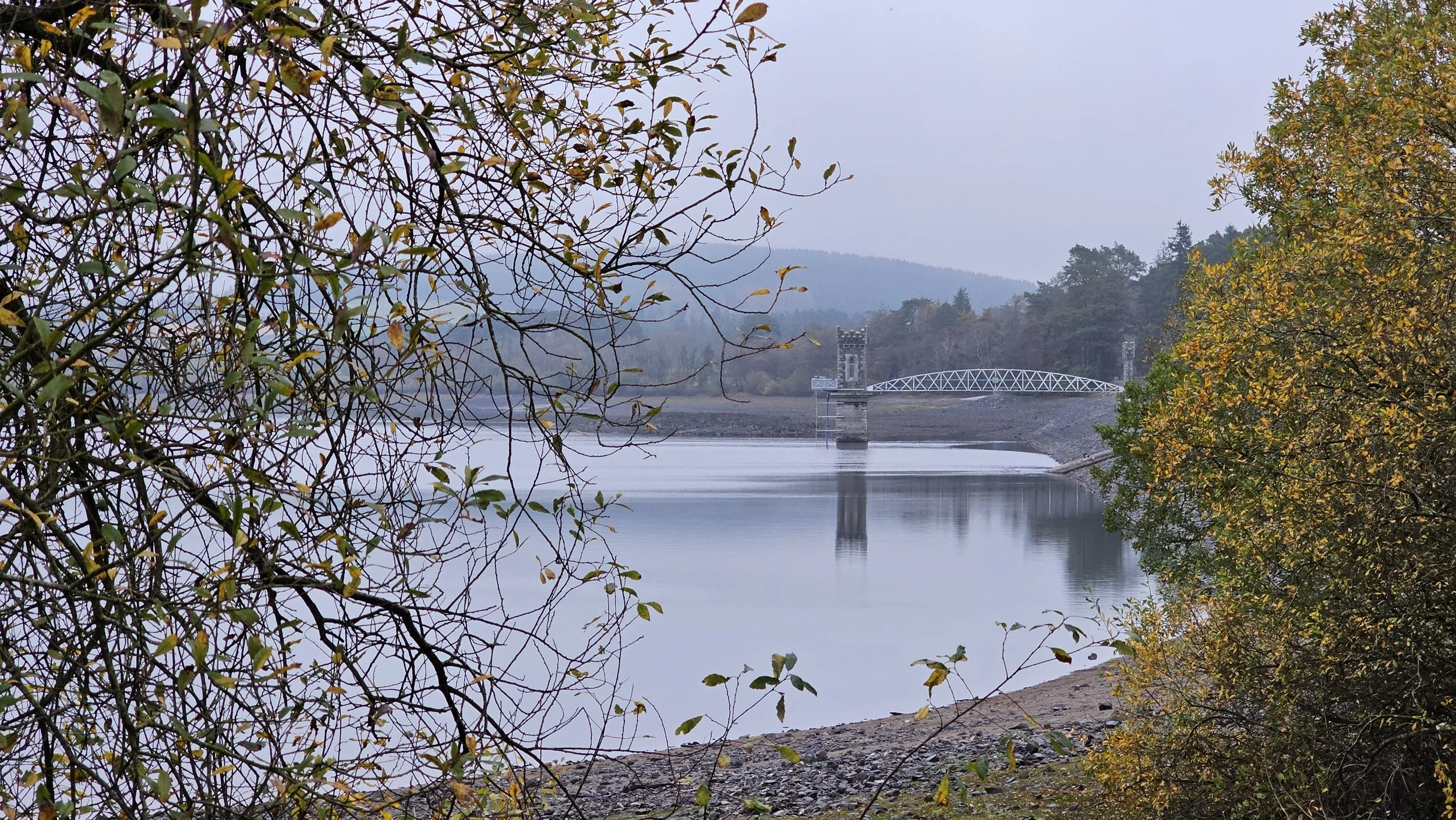
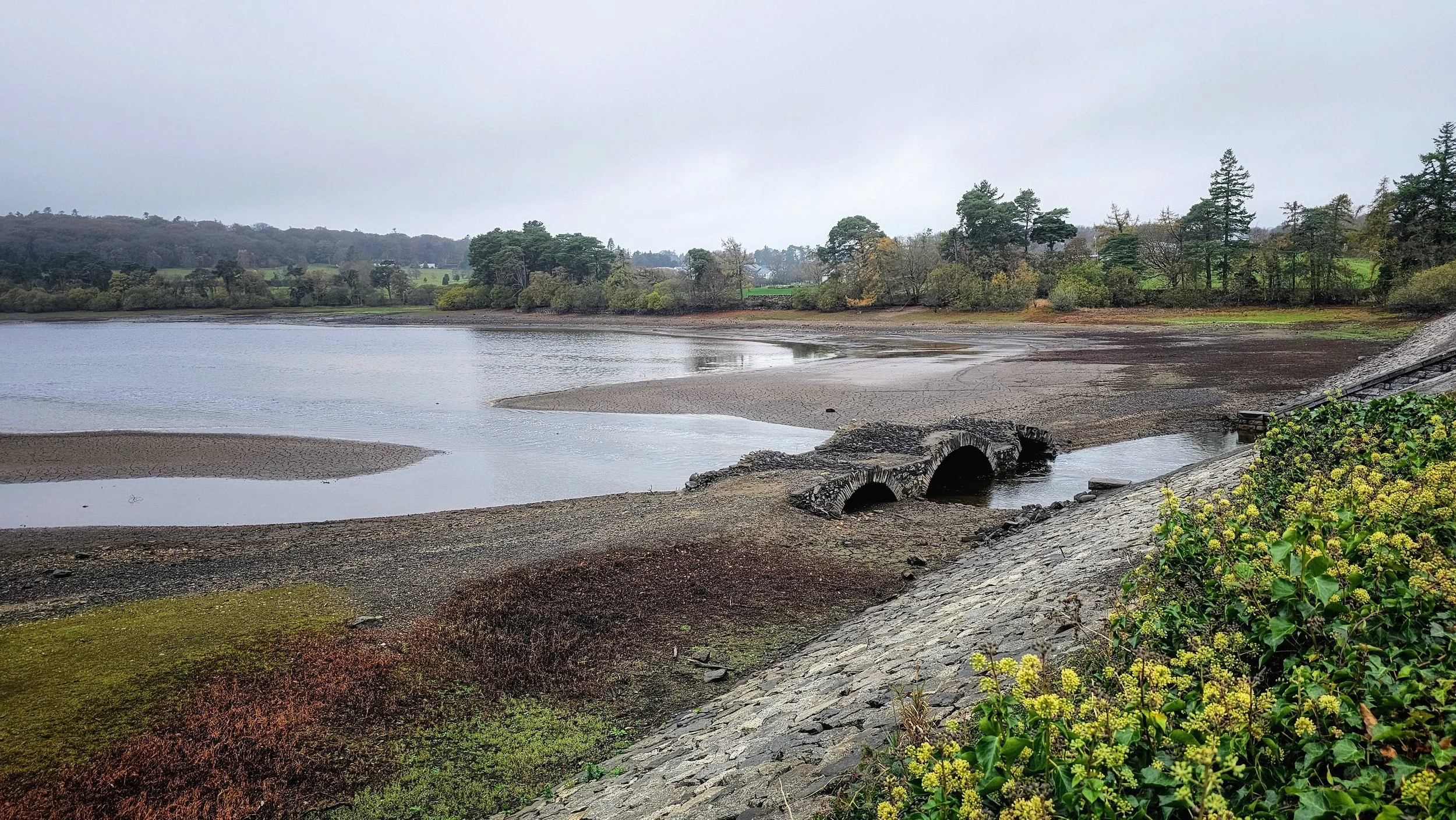
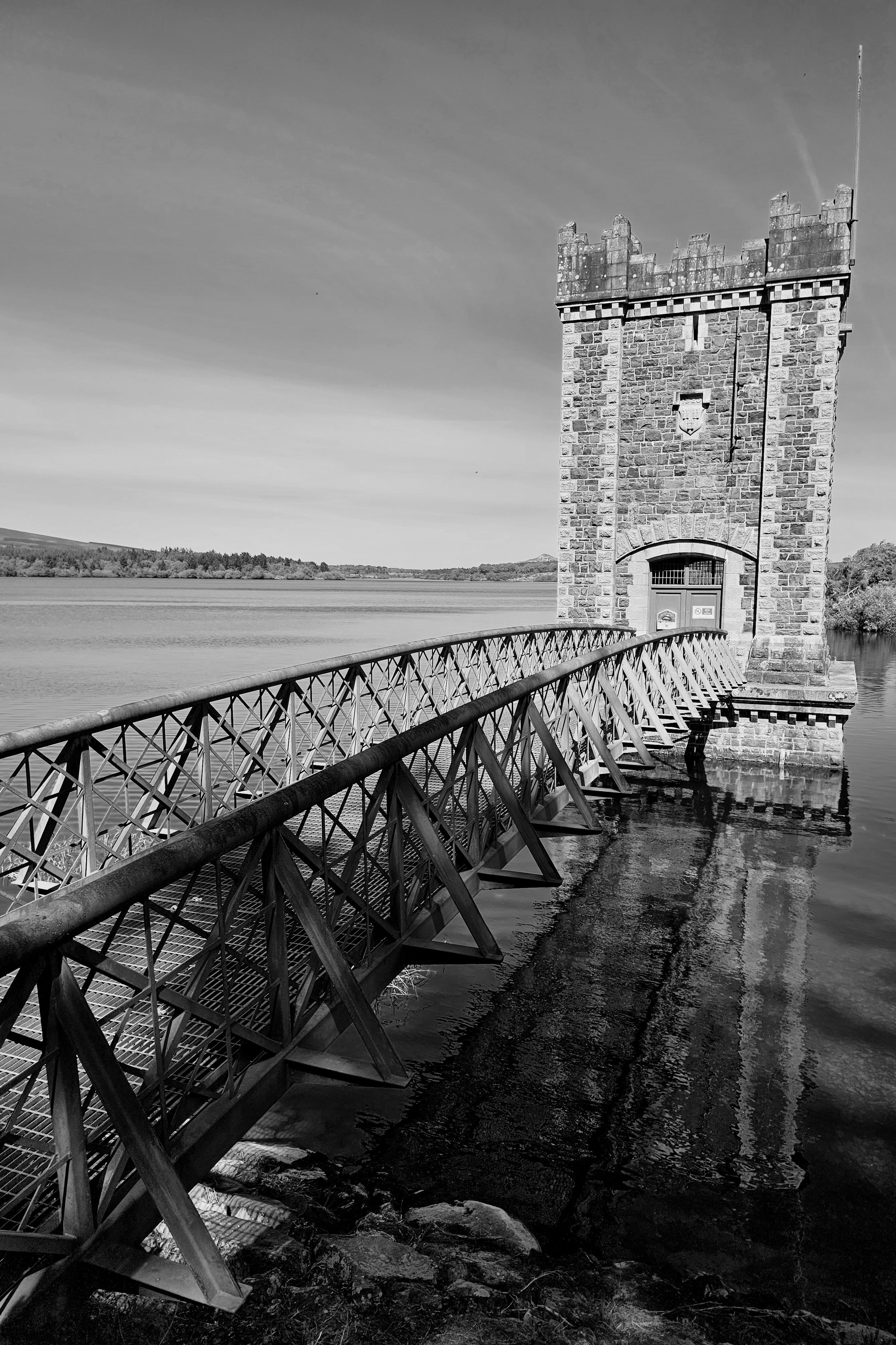
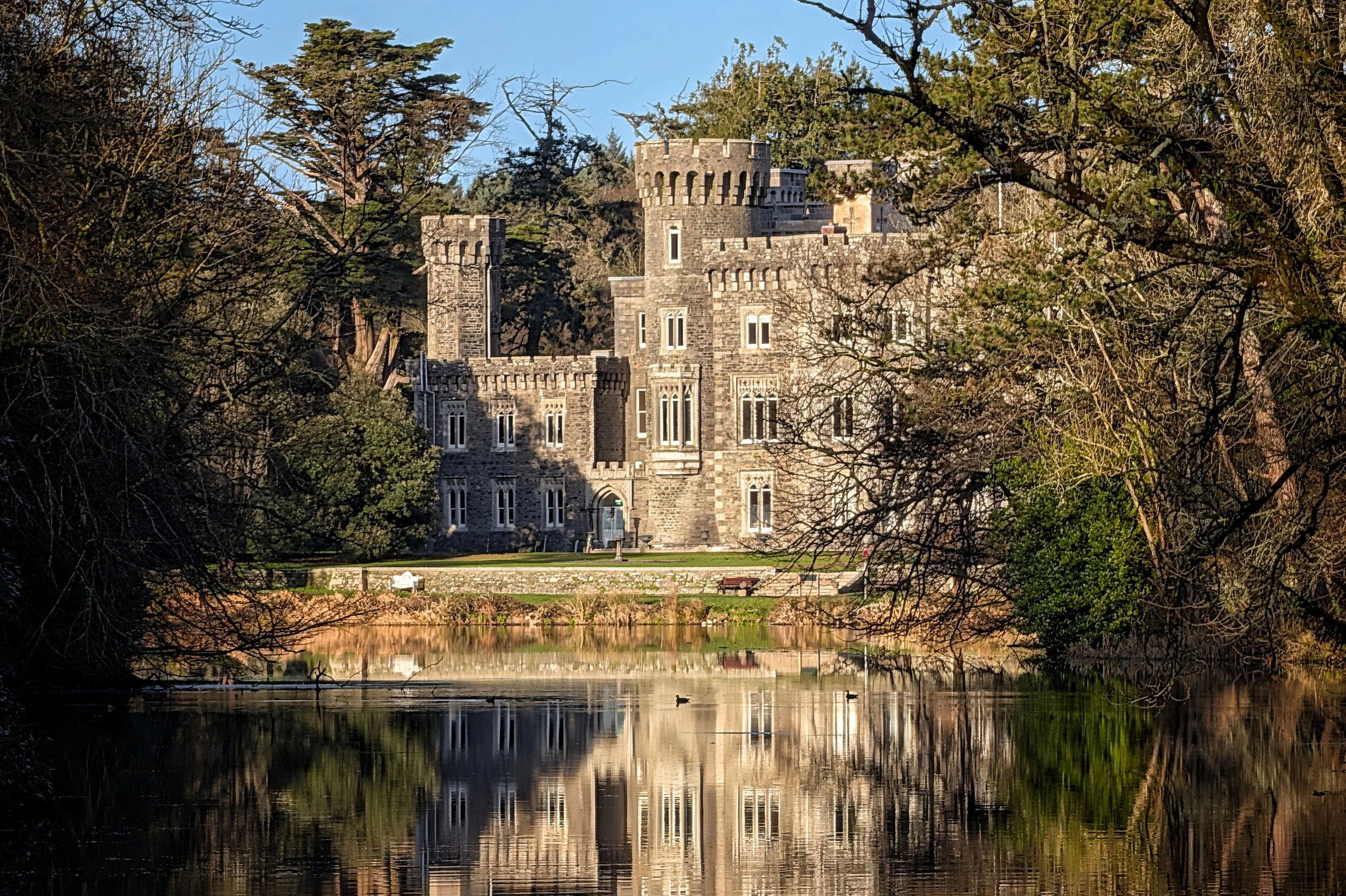
The site is technically two lakes - Upper and Lower - separated by a historic dam that doubles as a scenic walkway. A standout feature is the fairytale-esque Draw-Off Tower, a castellated stone turret rising from the water that looks more like a medieval fortification than a functional piece of 19th-century infrastructure. It’s a photographer’s dream, especially in the golden light of early morning or late evening when the silhouette is perfectly reflected in the calm waters.
The Upper Vartry Trail
Also known as the "Green Route," this loop is celebrated for its elevation and expansive views. It skirts the entire perimeter of the Upper Reservoir, offering the most dramatic scenery of the collection. The path is well-defined but includes some steeper inclines, rewarding walkers with uninterrupted sightlines of the Great Sugar Loaf and Djouce Mountain reflected in the water.
Distance & Time: 6.4 km | Approx. 1 hour 30 mins.
Terrain: Gravel paths with some gradient; generally accessible but requires moderate fitness.
Highlight: The panoramic viewpoints on the eastern bank where the mountains dominate the horizon.
Start Point: Upper Vartry Car Park (Knockraheen Entrance).
The Lower Vartry Trail
The "Blue Route" is the longest of the trails and is deeply integrated with the local heritage, often starting or ending in Roundwood village itself. This trail feels more pastoral, following the water's edge before weaving onto quiet country roads. It passes the iconic Vartry Reservoir Lower Draw TowerClick to open side panel for more information, a castellated stone structure that has become the symbol of the reservoir.
Distance & Time: 7.2 km | Approx. 2 hours.
Terrain: A mix of flat lakeside trails and public road (walkers should take care on road sections).
Highlight: Crossing the embankment dam and viewing the Victorian waterworks architecture up close.
Start Point: Roundwood Village or the Lower Dam.
The Woodland & Woodpecker Trails
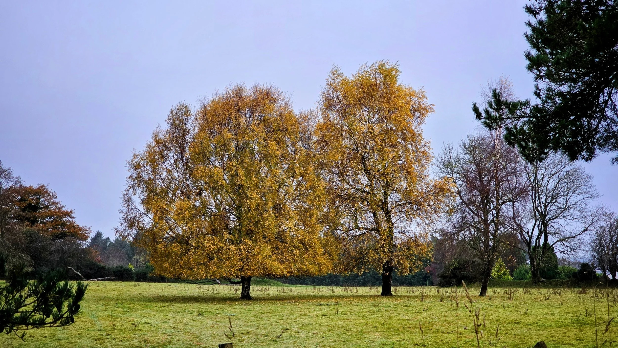
These shorter, interconnected routes offer a more enclosed, sensory experience. The Woodland Trail (Pink Route) acts as a lush, green corridor linking the Upper and Lower reservoirs, winding through a steep-sided cutting lined with century-old Scots Pines. The Woodpecker Trail is a gentle, looped spur ideal for families or those seeking a quiet forest bathe away from the water's edge.
Distance & Time: Woodland (3 km, 45 mins) | Woodpecker (2.5 km, 40 mins).
Terrain: Soft forest track; can be muddy after rain.
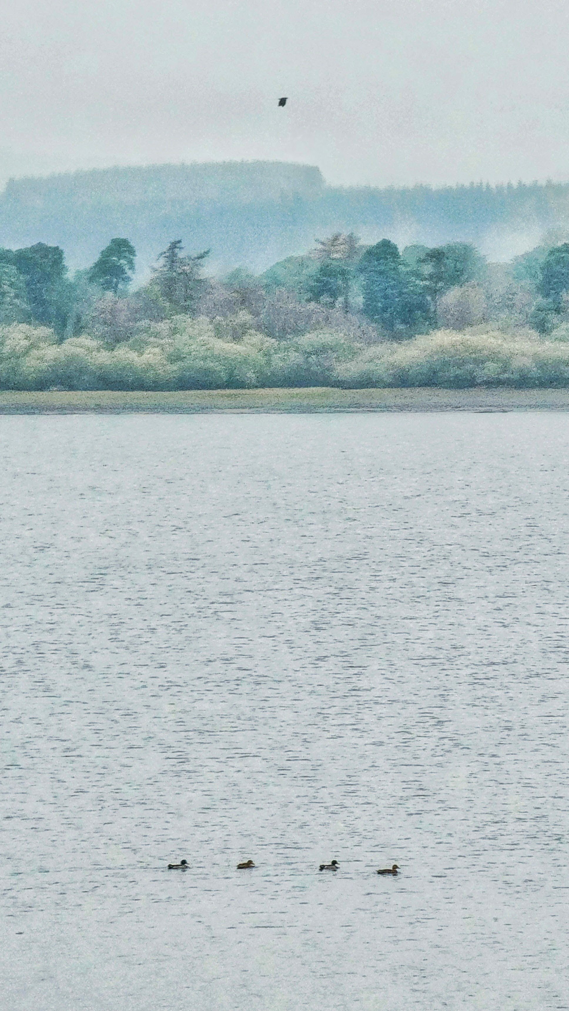
Highlight: The "tunnel" effect of the towering pines on the Woodland Trail and the chance to spot Great Crested Grebes nesting near the reeds.
Start Point: Vartry Trails Car Park (Mullinaveige).
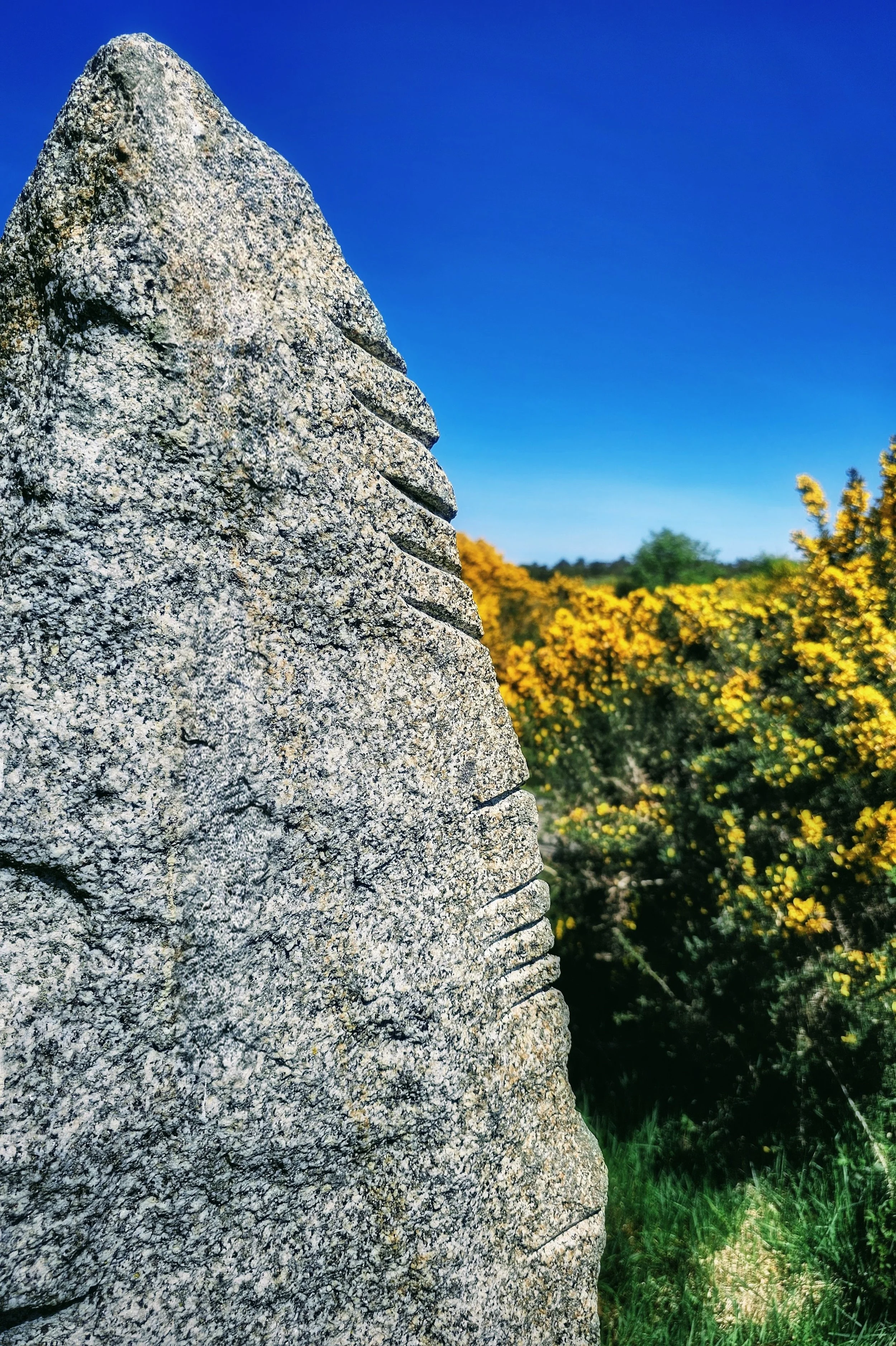
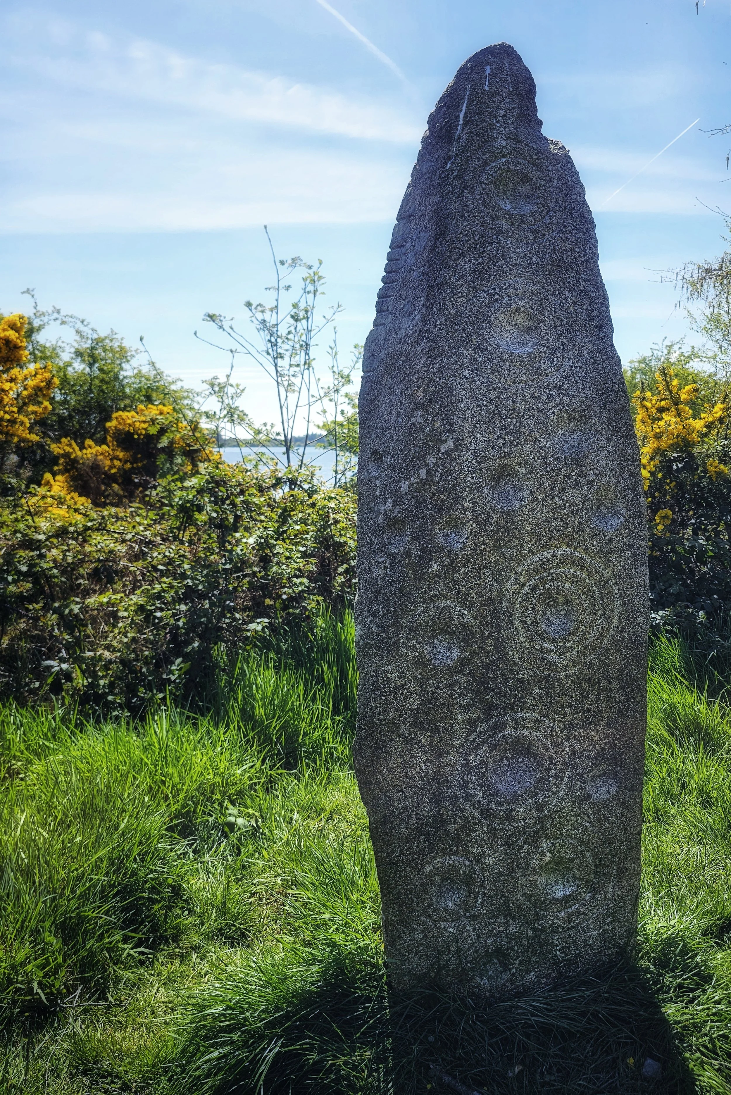
Ogham Stone
The Knockraheen Ogham Stone, situated quietly near the entrance to the Vartry Upper Reservoir, offers a profound and tangible connection to Ireland’s ancient linguistic heritage. Unlike the Victorian grandeur of the adjacent waterworks, this granite pillar speaks to a far older chapter of history, likely dating back to the early medieval period (4th–9th century AD).
The stone is relatively unassuming at first glance. It’s a rectangular block of granite standing roughly a metre tall. However, a closer inspection reveals the distinctive notches of the Ogham alphabet, the earliest form of writing in Ireland. Known as the 'tree alphabet', these strokes (or flescs) are carved along the vertical edge of the stone. The inscription on this particular stone is partially damaged but has been read as identifying a person or lineage, serving as a memorial or territorial marker that long predates the reservoir’s waters.
General Information
Address
Upper Lake:
R765, Knockraheen, Co. Wicklow, Ireland.
Lower Lake:
Roundwood, Co. Wicklow, Ireland.
Opening Hours
24 hours.
Accessibility
All trails are accessible.
Entry
FREE
Parking
FREE
More Lakes and Ponds in the East of Ireland…